
fix link
| area = 0.7
| area = 0.7
| est = 1836
| est = 1836
| parish = Awaba
| parish = Awaba
| stategov = [[Electoral district of Lake Macquarie|Lake Macquarie]]
| stategov = [[Electoral district of Lake Macquarie|Lake Macquarie]]
| fedgov = [[Division of Hunter|Hunter]]
| fedgov = [[Division of Hunter|Hunter]]
Suburb of City of Lake Macquarie, New South Wales, Australia
Suburb in New South Wales, Australia
|
Marmong Point |
|
|---|---|

|
|
| Coordinates: | |
| Country | Australia |
| State | New South Wales |
| LGA | |
| Location | |
| Established | 1836 |
| Government | |
| • State electorate | |
| • Federal division | |
| Area | |
|
• Total |
0.7 km2 (0.27 sq mi) |
| Population | |
| • Total | 765 (2021 census)[2] |
| • Density | 1,090/km2 (2,830/sq mi) |
| Postcode |
2284 |
| Parish | Awaba |
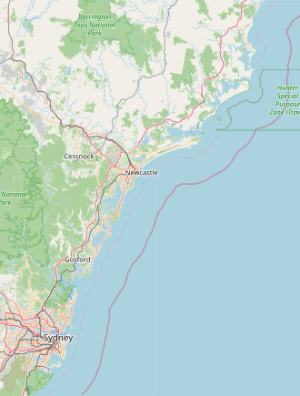
Marmong Point is a suburb of the City of Lake Macquarie in New South Wales, Australia north-north-east of the town of Toronto on the western shore of Lake Macquarie. Marmong is an Aboriginal word meaning low water or swampy water.[citation needed]
The Aboriginal people, in this area, the Awabakal, were the first people of this land.[3]
Early industry included a market garden, a sawmill, and an abattoirs.
- ^
Australian Bureau of Statistics (28 June 2022). “Marmong Point (suburb and locality)”. Australian Census 2021 QuickStats. Retrieved 28 June 2022.
- ^ Australian Bureau of Statistics (28 June 2022). “Marmong Point”. 2021 Census QuickStats. Retrieved 21 July 2023.
- ^ “Aboriginal and Torres Strait Islander people”. Lake Macquarie City. Retrieved 8 September 2020.

