
<!– Area –>
<!– Area –>
|unit_pref = Imperial
|unit_pref = Imperial
|area_footnotes = <ref name=”CenPopGazetteer2016“>{{cite web |title=2016 U.S. Gazetteer Files |url=https://www2.census.gov/geo/docs/maps-data/data/gazetteer/2016_Gazetteer/2016_gaz_place_42.txt |publisher=United States Census Bureau |access-date=August 13, 2017}}</ref>
|area_footnotes = <ref name=””>{{cite web|title= U.S. Gazetteer Files|url=https://www2.census.gov/geo/docs/maps-data/data/gazetteer//.txt|publisher=United States Census Bureau|access-date= , }}</ref>
|area_magnitude =
|area_magnitude =
|area_total_km2 = 53.43
|area_total_km2 = .
|area_land_km2 = 53.43
|area_land_km2 = .
|area_water_km2 = 0.00
|area_water_km2 = 0.00
|area_total_sq_mi = 20.63
|area_total_sq_mi = 20.
|area_land_sq_mi = 20.63
|area_land_sq_mi = 20.
|area_water_sq_mi = 0.00
|area_water_sq_mi = 0.00
<!– Population –>
<!– Population –>
|population_as_of = [[2010 United States Census|2010]]
|population_as_of = [[ United States |]]
|population_footnotes = <ref name=”2020 census”>{{cite web|title=Dean township, Cambria County, Pennsylvania – Census Bureau Profile|url=https://data.census.gov/profile/Dean_township,_Cambria_County,_Pennsylvania?g=060XX00US4202118432|publisher=U.S. Census Bureau|access-date=November 25, 2025}}</ref>
|population_footnotes =
|population_total = 391
|population_total =
|population_density_km2 = 6.88
|population_density_km2 = 6.
|population_density_sq_mi = 17.83
|population_density_sq_mi = .
<!– General information –>
<!– General information –>
|timezone = [[North American Eastern Time Zone|Eastern (EST)]]
|timezone = [[North American Eastern Time Zone|Eastern (EST)]]
|website =
|website =
|footnotes =
|footnotes =
|pop_est_as_of = 2016
|pop_est_as_of =
|pop_est_footnotes =
|pop_est_footnotes = <ref name=”USCensusEst2016″>{{cite web |url=https://www.census.gov/programs-surveys/popest/data/tables.2016.html |title=Population and Housing Unit Estimates |access-date=June 9, 2017}}</ref>
|population_est = 372
|population_est =
|blank_name = [[Federal Information Processing Standards|FIPS code]]
|blank_name = [[Federal Information Processing Standards|FIPS code]]
|blank_info = {{FIPS|cs=4202118432}}
|blank_info = {{FIPS|cs=4202118432}}
|blank1_info = {{GNIS 4|id=ID}}
|blank1_info = {{GNIS 4|id=ID}}
}}
}}
”’Dean Township”’ is a township in [[Cambria County, Pennsylvania|Cambria County]], [[Pennsylvania]], United States. The population was 391 at the 2010 census.<ref name=”Census 2010″>{{cite web |url=http://factfinder.census.gov/bkmk/table/1.0/en/DEC/10_SF1/G001/0600000US4202118432 |title=Geographic Identifiers: 2010 Demographic Profile Data (G001): Dean township, Cambria County, Pennsylvania |publisher=U.S. Census Bureau, American Factfinder |access-date=March 24, 2015 |archive-url=https://archive.today/20200213125135/http://factfinder.census.gov/bkmk/table/1.0/en/DEC/10_SF1/G001/0600000US4202118432 |archive-date=February 13, 2020 |url-status=dead}}</ref> It is part of the [[Johnstown, Pennsylvania|Johnstown]], [[Pennsylvania]] [[Metropolitan Statistical Area]] despite being much closer to Altoona.
”’Dean Township”’ is a township in [[Cambria County, Pennsylvania|Cambria County]], [[Pennsylvania]], United States. The population was 391 at the 2010 census.<ref name=”Census 2010″>{{cite web |url=http://factfinder.census.gov/bkmk/table/1.0/en/DEC/10_SF1/G001/0600000US4202118432 |title=Geographic Identifiers: 2010 Demographic Profile Data (G001): Dean township, Cambria County, Pennsylvania |publisher=U.S. Census Bureau, American Factfinder |access-date=March 24, 2015 |archive-url=https://archive.today/20200213125135/http://factfinder.census.gov/bkmk/table/1.0/en/DEC/10_SF1/G001/0600000US4202118432 |archive-date=February 13, 2020 |url-status=dead}}</ref> It is part of the [[Johnstown, Pennsylvania|Johnstown]], [[Pennsylvania]] [[Metropolitan Statistical Area]] despite being much closer to Altoona.
==Geography==
==Geography==
|2000= 408
|2000= 408
|2010= 391
|2010= 391
|2020= 328
|estyear=2016
|estyear=
|estimate=372
|estimate=
|estref=<ref name=”USCensusEst2016″>{{cite web |url=https://www.census.gov/programs-surveys/popest/data/tables.2016.html |title=Population and Housing Unit Estimates |access-date=June 9, 2017}}</ref>
|estref=
|footnote=U.S. Decennial Census<ref name=”DecennialCensus”>{{cite web |url=https://www.census.gov/programs-surveys/decennial-census.html |title=Census of Population and Housing |publisher=Census.gov |access-date=June 4, 2016}}</ref>
|footnote=U.S. Decennial Census<ref name=”DecennialCensus”>{{cite web |url=https://www.census.gov/programs-surveys/decennial-census.html |title=Census of Population and Housing |publisher=Census.gov |access-date=June 4, 2016}}</ref>
}}
}}
Township in Pennsylvania, US
Township in Pennsylvania, United States
Dean Township is a township in Cambria County, Pennsylvania, United States. The population was 328 at the 2020 census,[2] down from 391 at the 2010 census.[3] It is part of the Johnstown, Pennsylvania Metropolitan Statistical Area despite being much closer to Altoona.
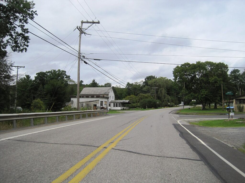
Dean Township is located in northeastern Cambria County at 40.59° N by 78.47°W, approximately 19 miles (31 km) northeast of Ebensburg, the Cambria County seat, and 12 miles (19 km) northwest of Altoona. The township is bordered by Blair County to the east. The western border of the township follows Clearfield Creek, a northward-flowing tributary of the West Branch Susquehanna River. Pennsylvania Route 53 runs through the western side of the township, following Clearfield Creek, leading southwest to Ashville and north to Coalport. Unincorporated communities in the township include Dean in the northwest and Dysart in the west, both along Clearfield Creek and PA 53.
According to the United States Census Bureau, the township has a total area of 20.8 square miles (54.0 km2), all land.[3]
Unincorporated communities
[edit]
- Condron
- Daugherty
- Dean
- Dysart
- Tippletown
| Census | Pop. | Note | %± |
|---|---|---|---|
| 2000 | 408 | — | |
| 2010 | 391 | −4.2% | |
| 2020 | 328 | −16.1% | |
As of the census[5] of 2000, there were 408 people, 165 households, and 124 families residing in the township. The population density was 19.7 people per square mile (7.6/km2). There were 186 housing units at an average density of 9.0/sq mi (3.5/km2). The racial makeup of the township was 98.77% White, and 1.23% from two or more races.
There were 165 households, out of which 21.8% had children under the age of 18 living with them, 60.6% were married couples living together, 8.5% had a female householder with no husband present, and 24.8% were non-families. 23.6% of all households were made up of individuals, and 11.5% had someone living alone who was 65 years of age or older. The average household size was 2.47 and the average family size was 2.92.
In the township the population was spread out, with 17.4% under the age of 18, 9.3% from 18 to 24, 28.9% from 25 to 44, 24.8% from 45 to 64, and 19.6% who were 65 years of age or older. The median age was 41 years. For every 100 females there were 102.0 males. For every 100 females age 18 and over, there were 94.8 males.
The median income for a household in the township was $30,313, and the median income for a family was $34,167. Males had a median income of $30,500 versus $21,875 for females. The per capita income for the township was $14,141. About 6.0% of families and 10.4% of the population were below the poverty line, including 18.2% of those under age 18 and 5.3% of those age 65 or over.
Portions of Pennsylvania State Game Lands Number 108 are located at the eastern end of the township.[6][7]
- ^ “2020 U.S. Gazetteer Files”. United States Census Bureau. Retrieved November 25, 2025.
- ^ a b “Dean township, Cambria County, Pennsylvania – Census Bureau Profile”. U.S. Census Bureau. Retrieved November 25, 2025.
- ^ a b “Geographic Identifiers: 2010 Demographic Profile Data (G001): Dean township, Cambria County, Pennsylvania”. U.S. Census Bureau, American Factfinder. Archived from the original on February 13, 2020. Retrieved March 24, 2015.
- ^ “Census of Population and Housing”. Census.gov. Retrieved June 4, 2016.
- ^ “U.S. Census website”. United States Census Bureau. Retrieved January 31, 2008.
- ^ https://viewer.nationalmap.gov/advanced-viewer/ Archived October 29, 2017, at the Wayback Machine The National Map, retrieved November 11, 2018
- ^ Pennsylvania State Game Lands Number 108, retrieved November 11, 2018

