
Content deleted Content added
|
|
|||
| Line 65: | Line 65: | ||
|
The street was split in two by [[Gardiner Street]] to form the western ”’Upper Mecklenburgh Street”’ and the eastern ”’Lower Mecklenburgh Street”’. |
The street was split in two by [[Gardiner Street]] to form the western ”’Upper Mecklenburgh Street”’ and the eastern ”’Lower Mecklenburgh Street”’. |
||
|
The street was originally named for [[Charlotte of Mecklenburg-Strelitz]], wife of [[George III]] and was renamed to ”’Upper Tyrone Street”’ (1886) and ”’Lower Tyrone Street”’ (1888) for nearby [[Tyrone House, Dublin|Tyrone House]] and later again these were renamed ”’Waterford Street”’ and ”’Railway Street”’ in 1911.<ref>{{cite web |last1=Seery |first1=Michael |title=Railway Street |url=https://wideandconvenientstreets.wordpress.com/tag/railway-street/ |website=Wide and Convenient Streets |access-date=25 November 2025 |language=en |date=24 August 2015}}</ref> On both occassions, this occurred owing to the areas connection with prostitution and the [[Monto]] red light district. |
The street was originally named for [[Charlotte of Mecklenburg-Strelitz]], wife of [[George III]] and was renamed to ”’Upper Tyrone Street”’ (1886) and ”’Lower Tyrone Street”’ (1888) for nearby [[Tyrone House, Dublin|Tyrone House]] and later again these were renamed ”’Waterford Street”’ and ”’Railway Street”’ in 1911.<ref>{{cite web |last1=Seery |first1=Michael |title=Railway Street |url=https://wideandconvenientstreets.wordpress.com/tag/railway-street/ |website=Wide and Convenient Streets |access-date=25 November 2025 |language=en |date=24 August 2015}}</ref> On both occassions, this occurred owing to the areas connection with prostitution and the [[Monto]] red light district. |
||
|
While Railway Street retains its name as of 2025, Waterford Street has now entirely disappeared and been replaced by a school, social housing and private apartments in the second half of the 20th century. |
While Railway Street retains its name as of 2025, Waterford Street has now entirely disappeared and been replaced by a school, social housing and private apartments in the second half of the 20th century. |
||
Latest revision as of 12:36, 27 November 2025
Street in Dublin, Ireland
Mecklenburgh Street was a street in Dublin, Ireland first laid out in 1765 along the course of a pre-existing route known as Great Martins Lane which extended from Marlborough Street nearly as far as the Strand and to what later became Buckingham Street.[1]
The street was split in two by Gardiner Street to form the western Upper Mecklenburgh Street and the eastern Lower Mecklenburgh Street.
The street was originally named for Charlotte of Mecklenburg-Strelitz, wife of George III from 1761 and was renamed to Upper Tyrone Street (1886) and Lower Tyrone Street (1888) for nearby Tyrone House and later again these were renamed Waterford Street and Railway Street in 1911.[2] On both occassions, this occurred owing to the areas connection with prostitution and the Monto red light district.
While Railway Street retains its name as of 2025, Waterford Street has now entirely disappeared and been replaced by a school, social housing and private apartments in the second half of the 20th century.
The botanical gardens of the Royal Dublin Society were located off the street from approximately 1735 until 1795 with some of its meetings taking place in a house it had there up until around 1739.[3][4] It later moved to Glasnevin and ultimately became the National Botanic Gardens.
From the 1760s, large Georgian houses began to be developed at Upper Mecklenburgh Street, close to the corner of Marlborough Street.
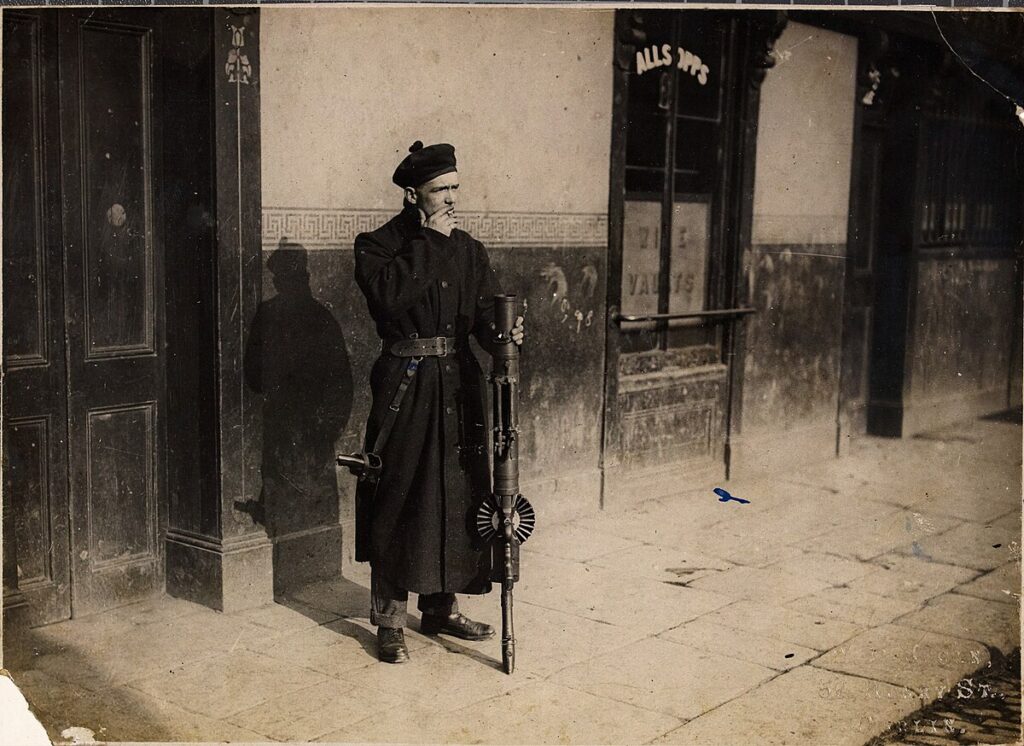
In the later 19th century, prostitution in Dublin became more confined to the general Monto area of which Lower Mecklenburgh Street was central. From around 1870, women began moving into the cheap tenement housing and rooms for rent in the area and by 1885 brothels were extending into the district.[5]
- ^ “John Rocque’s maps of Dublin, 1756-1762”. Virtual Treasury. Retrieved 25 November 2025.
- ^ Seery, Michael (24 August 2015). “Railway Street”. Wide and Convenient Streets. Retrieved 25 November 2025.
- ^ Carm, Augustine Dillon Cosgrave, O. (1969). “North Dublin City”. Dublin Historical Record. pp. 3–22. Retrieved 25 November 2025.
{{cite web}}: CS1 maint: multiple names: authors list (link) - ^ “A history of the Royal Dublin society” (PDF). Retrieved 25 November 2025.
- ^ “‘Monto’ – History Ireland”. historyireland.com. Retrieved 26 November 2025.
- ^ “Dictionary of Irish Architects”. www.dia.ie. Retrieved 25 November 2025.
- ^ “Irish Builder and Engineer”. Mecredy, Percy & Company. 1922. Retrieved 25 November 2025.
- ^ “Will of VAN NOST, JOHN, Mecklenburgh Street, Dublin”. Virtual Treasury. Retrieved 25 November 2025.
- ^ “A LIST OF ARCHITECTS, BUILDERS, SURVEYORS, MEASURERS AND ENGINEERS EXTRACTED FROM WILSON’S DUBLIN DIRECTORIES FROM 1760 TO 1837” (PDF). Retrieved 25 November 2025.

