
added map; 2020 census
m –{{NorthDakota-geo-stub}}, +{{AdamsCountyND-geo-stub}} using StubSorter
[[Category:Populated places in Adams County, North Dakota]]
[[Category:Populated places in Adams County, North Dakota]]
Unorganized territory in North Dakota, United States
|
Central Adams, North Dakota |
|
|---|---|
|
Unorganized territory |
|
 |
|

|
|
| Coordinates: | |
| Country | United States |
| State | North Dakota |
| County | Adams |
| Area | |
|
• Total |
71.93 sq mi (186.31 km2) |
| • Land | 71.92 sq mi (186.26 km2) |
| • Water | 0.019 sq mi (0.05 km2) |
| Elevation | 2,710 ft (826 m) |
| Population | |
|
• Total |
72 |
| • Density | 1.0/sq mi (0.39/km2) |
| Time zone | UTC-6 (Central (CST)) |
| • Summer (DST) | UTC-5 (CDT) |
| Area code | 701 |
| GNIS feature ID | 1035962[2] |
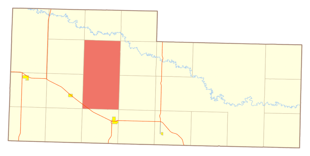
Central Adams is an unorganized territory in Adams County, North Dakota, United States. As of the 2010 census it had a population of 54.[3]
Central Adams comprises the territory of the former townships of Holt and Argonne.
- ^
“Census Bureau profile: Central Adams UT, Adams County, North Dakota”. United States Census Bureau. May 2023. Retrieved September 17, 2025.
- ^ U.S. Geological Survey Geographic Names Information System: Central Adams, North Dakota
- ^ “Geographic Identifiers: 2010 Demographic Profile Data (G001): Central Adams UT, Adams County, North Dakota”. U.S. Census Bureau, American Factfinder. Archived from the original on February 12, 2020. Retrieved July 3, 2013.

