


From Wikipedia, the free encyclopedia
Content deleted Content added
|
|
|||
| Line 62: | Line 62: | ||
|
In [[history|historical records]] the village was first mentioned in 1138. |
In [[history|historical records]] the village was first mentioned in 1138. |
||
|
After the [[Austro-Hungarian]] army disintegrated in November 1918, [[Czechoslovakia|Czechoslovak]] troops occupied the area, later acknowledged internationally by the [[Treaty of Trianon]]. Between 1938 and 1945 Chotín once more became part of [[Miklós Horthy]]’s Hungary through the [[First Vienna Award]]. From 1945 until the [[Velvet Divorce]], it was part of [[Czechoslovakia]]. Since then it has been part of Slovakia. |
After the [[Austro-Hungarian]] army disintegrated in November 1918, [[Czechoslovakia|Czechoslovak]] troops occupied the area, later acknowledged internationally by the [[Treaty of Trianon]]. Between 1938 and 1945 Chotín once more became part of [[Miklós Horthy]]’s Hungary through the [[First Vienna Award]]. From 1945 until the [[Velvet Divorce]], it was part of [[Czechoslovakia]]. Since then it has been part of Slovakia. |
||
|
== Population == |
|||
|
{{Slovak municipality|pop}} |
|||
|
It has a population of {{Slovak municipality|p}} people ({{Slovak municipality|y}}-12-31).{{Slovak municipality|P}} |
|||
|
==Demographics== |
==Demographics== |
||
Latest revision as of 07:50, 14 November 2025
Municipality in Slovakia
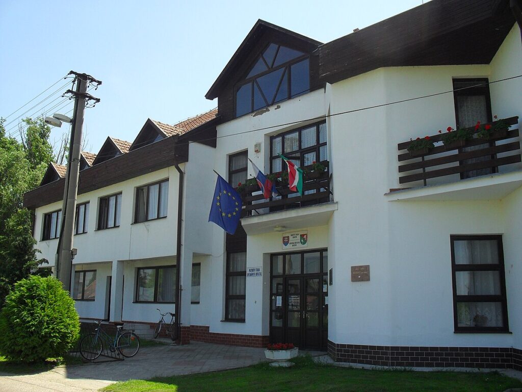
Chotín (Hungarian: Hetény, Hungarian pronunciation:[ˈhɛteːɲ]) is a village and municipality in the Komárno District in the Nitra Region of south-western Slovakia.
The village lies at an altitude of 109 metres and covers an area of 20.425 km².
It has a population of about 1,410 people.
In the 9th century, the territory of Chotín became part of the Kingdom of Hungary.
In historical records the village was first mentioned in 1138.
After the Austro-Hungarian army disintegrated in November 1918, Czechoslovak troops occupied the area, later acknowledged internationally by the Treaty of Trianon. Between 1938 and 1945 Chotín once more became part of Miklós Horthy‘s Hungary through the First Vienna Award. From 1945 until the Velvet Divorce, it was part of Czechoslovakia. Since then it has been part of Slovakia.
| Year | 1994 | 2004 | 2014 | 2024 |
|---|---|---|---|---|
| Count | 1468 | 1417 | 1383 | 1385 |
| Difference | −3.47 % | −2.39 % | +0.14 % |
| Year | 2023 | 2024 |
|---|---|---|
| Count | 1392 | 1385 |
| Difference | −0.50 % |
It has a population of 1385 people (2024-12-31).[5]
The village is about 87% Hungarian, 12.5% Slovak.
The village has a public library, a gym and a football pitch.
Genealogical resources
[edit]
The records for genealogical research are available at the state archive “Statny Archiv in Nitra, Slovakia”
- Roman Catholic church records (births/marriages/deaths): 1722-1901 (parish B)
- Reformated church records (births/marriages/deaths): 1828-1952 (parish A)


