


From Wikipedia, the free encyclopedia
Content deleted Content added
|
m →top: add authority control
|
Adding short description: “Village in Worcestershire, England”, overriding automatically generated description
|
||
| Line 1: | Line 1: | ||
|
{{Short description|Village in Worcestershire, England}} |
|||
|
{{Use dmy dates|date=July 2017}} |
{{Use dmy dates|date=July 2017}} |
||
|
{{Use British English|date=July 2017}} |
{{Use British English|date=July 2017}} |
||
Latest revision as of 08:53, 22 September 2025
Village in Worcestershire, England
Human settlement in England
| Ryall | |
|---|---|
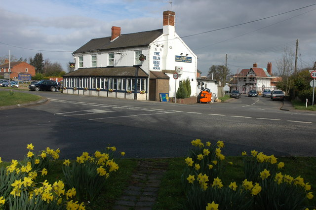
 The Blue Bell, Ryall |
|
 |
|
| OS grid reference | SO870410 |
| Civil parish | |
| District | |
| Shire county | |
| Region | |
| Country | England |
| Sovereign state | United Kingdom |
| Post town | WORCESTER |
| Postcode district | WR8 |
| Police | West Mercia |
| Fire | Hereford and Worcester |
| Ambulance | West Midlands |

Ryall is a village in the south of Worcestershire, England, on the east bank of the River Severn, near Upton-upon-Severn on the opposite bank.
The village is located on the A38 road that runs roughly parallel to the River Severn, on its Tewkesbury to Kempsey stretch, and on the A4104, which crosses the Severn at Upton.
The part of the village by the A38 is called The Grove, and includes the Blue Bell public house. The part along the A4104 is called Holly Green.


