
Content deleted Content added
|
|
|||
| Line 1: | Line 1: | ||
|
{{Use American English|date=February 2026}} |
|||
|
{{Infobox river |
{{Infobox river |
||
|
| name = Thunder Creek<ref name=gnis>{{cite gnis|id=1509019|name=Thunder Creek Creek|accessdate=April 5, 2018}}</ref> |
| name = Thunder Creek<ref name=gnis>{{cite gnis|id=1509019|name=Thunder Creek Creek|accessdate=April 5, 2018}}</ref> |
||
Latest revision as of 18:37, 10 February 2026
River in Washington , United States
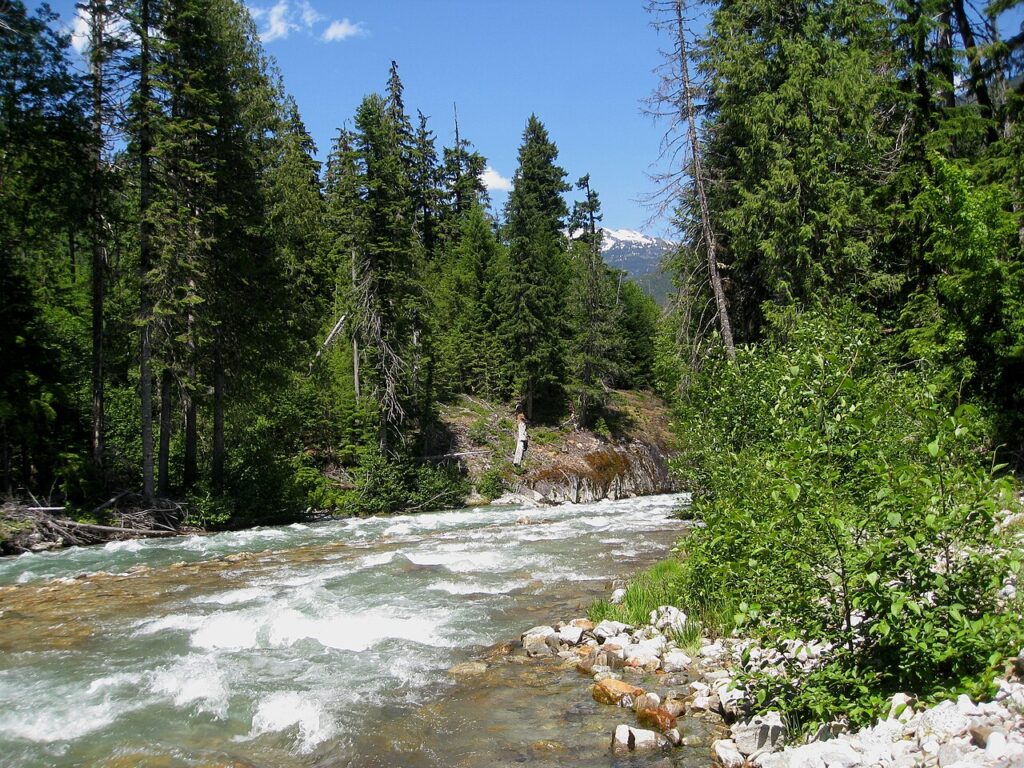
Thunder Creek is a stream located entirely within North Cascades National Park and the Ross Lake National Recreation Area in the US state of Washington.[2] Thunder Creek runs in a northerly direction most of its route starting from just north of Park Creek Pass in the south district of North Cascades National Park and ending at Diablo Lake in Ross Lake National Recreation Area. Prior to the construction of the Diablo Dam, Thunder Creek emptied into the Skagit River. A popular hiking trail parallels Thunder Creek its entire length. Thunder Creek is well known for having a turquoise appearance from the suspended silt and rock flour caused by runoff from dozens of glaciers, including the largest glacier in the park, Boston Glacier, which feeds Skagit Creek, a tributary stream.[3]

