

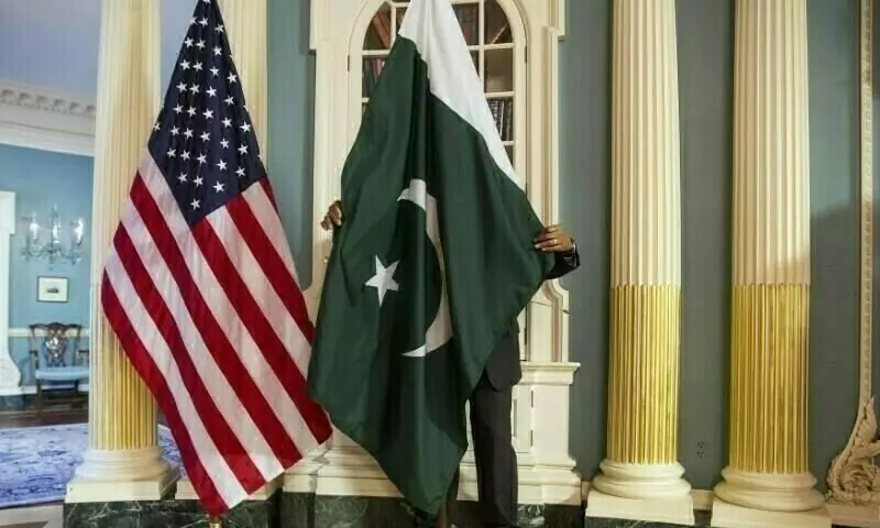
WASHINGTON: The United States Trade Representative’s (USTR) office has removed a controversial map of India from its official X (formerly Twitter) account after Pakistan lodged a strong diplomatic protest over the depiction of internationally-recognised disputed territories as part of India, diplomatic sources told Dawn on Wednesday.
The map, which accompanied a USTR press release announcing a framework for an interim US-India trade agreement, showed the entire Jammu and Kashmir region — including Azad Jammu and Kashmir and Gilgit-Baltistan — within Indian boundaries. It also depicted China’s Aksai Chin region as part of India, despite the fact that the area is claimed by China and remains disputed.
It was posted on the site on Friday evening, but had been removed by Monday evening, which was also the first working day after the weekend.
Diplomatic sources said Pakistan conveyed its protest both to the US Embassy in Islamabad and to State Department officials in Washington, stressing that the map contradicted the long-standing and stated US position that Jammu and Kashmir is a disputed territory whose final status must be determined in accordance with relevant United Nations Security Council (UNSC) resolutions.
Officials familiar with the matter said the map appeared to have been taken from Google Maps, as was the case with a separate map used by the USTR in a press release on a trade deal with Bangladesh.
The maps merely showed territorial outlines and did not name any specific areas. However, Pakistani officials pointed out that even an outline map, when issued by an official US government body, carries political and diplomatic weight — particularly on an issue as sensitive as Kashmir.
The concern was heightened after Indian media outlets seized upon the map as evidence of an alleged shift in US policy, portraying it as an implicit endorsement of India’s claims over disputed territories.
Pakistani officials said this narrative made it imperative for Islamabad to immediately remind Washington of its traditional and consistent position on Kashmir, and to ensure that no such misinterpretation gained traction.
Although the USTR press release remains available on its website and social media platforms, the specific map of India has since been withdrawn.
By contrast, the map attached to the USTR’s press release on a trade arrangement with Bangladesh remains online, reinforcing the view that the India map was posted mistakenly.
The controversy emerged as Washington and New Delhi announced, over the weekend, a framework for the first phase of a bilateral trade agreement aimed at boosting two-way commerce.
According to a joint statement, the US will reduce tariffs on Indian goods to 18 per cent, having already removed an additional 25pc punitive duty. Reciprocal tariffs are also expected to be lowered to similar levels.
Pakistani officials said the protest was unavoidable, particularly in light of India’s unilateral actions of August 2019, when New Delhi revoked the special status of occupied Jammu and Kashmir — a move Pakistan rejects as illegal, unconstitutional and in violation of international law.
Islamabad maintains that any official depiction suggesting Indian sovereignty over the disputed region undermines the UN-recognised status of the territory and weakens international commitments to neutrality.
The inclusion of Aksai Chin within Indian territory further compounded concerns, as it misrepresented another unresolved territorial dispute and ran counter to Washington’s stated position of not taking sides in conflicts between India and China.
US officials have not publicly commented on the removal of the map. Pakistani diplomats say the episode highlights the need for constant vigilance, as even seemingly technical or symbolic representations by influential international actors can have serious diplomatic consequences on an issue as sensitive and consequential as Kashmir.

