
Town in Victoria, Australia
Town in Victoria, Australia
|
Cannons Creek |
|
|---|---|
 |
|

|
|

Interactive map of Cannons Creek |
|
| Coordinates: | |
| Country | Australia |
| State | Victoria |
| LGA | |
| Location | |
| Government | |
| • State electorate | |
| • Federal division | |
| Population | |
| • Total | 650 (2021 census)[2] |
| Postcode |
3977 |
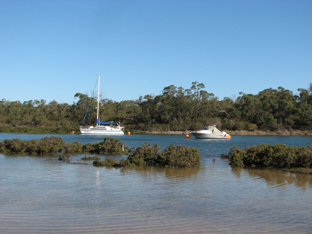
Cannons Creek is a town near the top of Western Port Bay in Victoria, Australia, 54 km south-east of Melbourne’s Central Business District, located within the City of Casey local government area. Cannons Creek recorded a population of 650 at the 2021 census.[2]
The townships of both Warneet and Blind Bight are south of Cannons Creek. The community centre is located on Cannons Creek Road.
- City of Cranbourne – Cannons Creek was previously within this former local government area.
- ^
Australian Bureau of Statistics (28 June 2022). “Cannons Creek (urban centre and locality)”. Australian Census 2021.
- ^ a b Australian Bureau of Statistics (28 June 2022). “Cannons Creek (Suburbs and Localities)”. 2021 Census QuickStats. Retrieved 10 July 2022.

