
Content deleted Content added
|
|
|||
| Line 221: | Line 221: | ||
|
[[Category:Census-designated places in Teller County, Colorado]] |
[[Category:Census-designated places in Teller County, Colorado]] |
||
|
[[Category:Census-designated places in Colorado]] |
[[Category:Census-designated places in Colorado]] |
||
|
[[Category:1889 establishments in Colorado]] |
|||
Latest revision as of 20:23, 11 October 2025
Census-designated place in Teller County, Colorado, United States
Census-designated place in Colorado, United States
Divide is an unincorporated town, a post office, and a census-designated place (CDP) located in and governed by Teller County, Colorado, United States. The CDP is a part of the Colorado Springs, CO Metropolitan Statistical Area. The Divide post office has the ZIP Code 80814.[6] At the United States Census 2020, the population of the Divide CDP was 143.[5]
The Divide, Colorado, post office opened on June 26, 1889.[7] The town was named for Ute Pass between the Arkansas River watershed and the Missouri River watershed.[8][9]
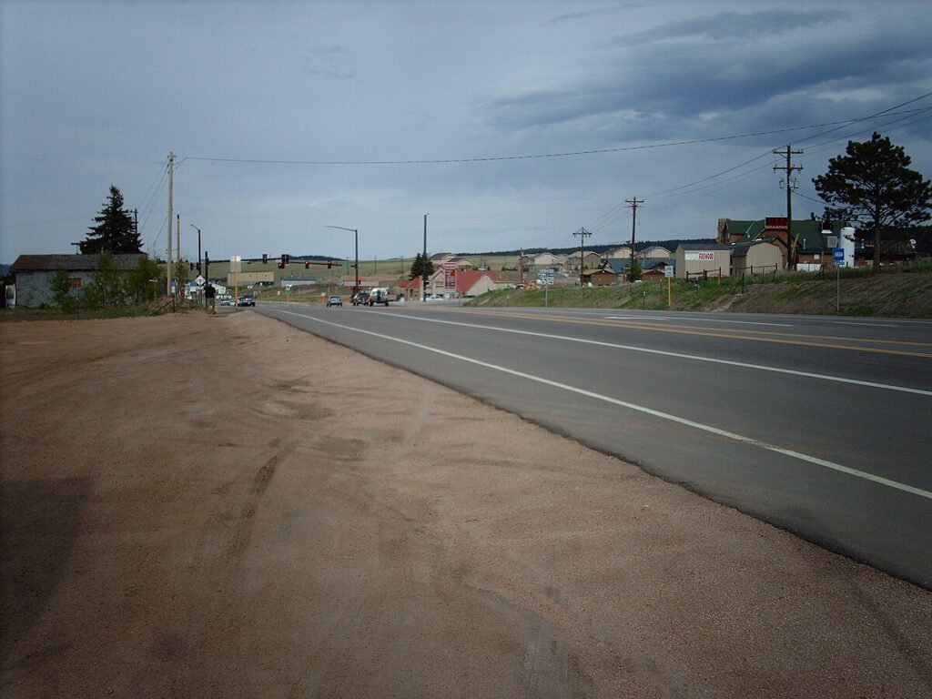
Divide sits on the north slope of Pikes Peak. Ute Pass is immediately west of town. Divide is located at the western intersection of U.S. Highway 24 and State Highway 67 (The highways overlap east to Woodland Park).
The Divide CDP has an area of 215 acres (0.869 km2), all land.[4]
| Climate data for Divide 4NW, Colorado, 1991–2020 normals: 9134ft (2784m) | |||||||||||||
|---|---|---|---|---|---|---|---|---|---|---|---|---|---|
| Month | Jan | Feb | Mar | Apr | May | Jun | Jul | Aug | Sep | Oct | Nov | Dec | Year |
| Mean daily maximum °F (°C) | 32.7 (0.4) |
34.4 (1.3) |
41.3 (5.2) |
46.8 (8.2) |
56.5 (13.6) |
68.5 (20.3) |
74.3 (23.5) |
71.4 (21.9) |
65.3 (18.5) |
53.6 (12.0) |
41.5 (5.3) |
32.6 (0.3) |
51.6 (10.9) |
| Daily mean °F (°C) | 21.0 (−6.1) |
22.5 (−5.3) |
29.4 (−1.4) |
34.7 (1.5) |
43.9 (6.6) |
54.9 (12.7) |
60.5 (15.8) |
58.1 (14.5) |
51.9 (11.1) |
40.4 (4.7) |
29.7 (−1.3) |
22.4 (−5.3) |
39.1 (4.0) |
| Mean daily minimum °F (°C) | 9.3 (−12.6) |
10.5 (−11.9) |
17.5 (−8.1) |
22.6 (−5.2) |
31.2 (−0.4) |
41.2 (5.1) |
46.6 (8.1) |
44.7 (7.1) |
38.5 (3.6) |
27.1 (−2.7) |
17.8 (−7.9) |
12.3 (−10.9) |
26.6 (−3.0) |
| Average precipitation inches (mm) | 0.66 (17) |
0.74 (19) |
1.45 (37) |
2.10 (53) |
2.03 (52) |
1.77 (45) |
3.72 (94) |
3.24 (82) |
1.90 (48) |
0.94 (24) |
0.69 (18) |
0.74 (19) |
19.98 (508) |
| Average snowfall inches (cm) | 10.1 (26) |
16.6 (42) |
14.8 (38) |
19.3 (49) |
10.9 (28) |
0.5 (1.3) |
trace | trace | 1.0 (2.5) |
5.7 (14) |
9.4 (24) |
11.0 (28) |
99.3 (252.8) |
| Source 1: NOAA[10] | |||||||||||||
| Source 2: XMACIS (snowfall)[11] | |||||||||||||
The United States Census Bureau initially defined the Divide CDP for the United States Census 2010.
It is in the Woodland Park School District RE-2.[12]
- ^ a b “Colorado Counties”. Colorado Department of Local Affairs. Retrieved October 11, 2025.
- ^ Navarr, Linda (September 20, 2015). “Cripple Creek/Divide/Florissant”. Gazette.
- ^ a b “Divide, Colorado”. Geographic Names Information System. United States Geological Survey, United States Department of the Interior. Retrieved October 11, 2025.
- ^ a b “State of Colorado Census Designated Places – BAS20 – Data as of January 1, 2020”. United States Census Bureau. Retrieved December 27, 2020.
- ^ a b United States Census Bureau. “Divide CDP, Colorado”. Retrieved April 12, 2023.
- ^ a b “ZIP Code Lookup”. United States Postal Service. Retrieved October 11, 2025.
- ^ Bauer, William H.; Ozment, James L.; Willard, John H. (1990). Colorado Post Offices 1859–1989. Golden, Colorado: Colorado Railroad Historical Foundation. ISBN 0-918654-42-4.
- ^ Dawson, John Frank. Place names in Colorado: why 700 communities were so named, 150 of Spanish or Indian origin. Denver, CO: The J. Frank Dawson Publishing Co. p. 18.
- ^ Dodd, Beth. “Center of the Known Universe, Divide, CO”. Woodland Park, Colorado: The High Country Messenger.
- ^ “Divide 4NW, Colorado 1991-2020 Monthly Normals”. Retrieved December 9, 2023.
- ^ “xmACIS”. National Oceanic and Atmospheric Administration. Retrieved December 9, 2023.
- ^ Geography Division (December 17, 2020). 2020 CENSUS – SCHOOL DISTRICT REFERENCE MAP: Teller County, CO (PDF) (Map). U.S. Census Bureau. Retrieved 2025-08-04. – Text list

