
Content deleted Content added
| Line 126: | Line 126: | ||
|
Uganda Bureau of Statistics (UBOS) reported a population of 216,125 people and 48,861 households for Kwania District in the National Population and Housing Census 2024 (10 May 2024).<ref>{{cite web |url=https://statistics.ubos.org/nphc/drilldown?district=333&subregion=32 |
Uganda Bureau of Statistics (UBOS) reported a population of 216,125 people and 48,861 households for Kwania District in the National Population and Housing Census 2024 (10 May 2024).<ref>{{cite web |url=https://statistics.ubos.org/nphc/drilldown?district=333&subregion=32 |
||
|
|title=KWANIA – NPHC 2024 Data (district summary) |website=Uganda Bureau of Statistics (UBOS) NPHC 2024 Explorer |access-date=16 December 2025}}</ref> |
|title=KWANIA – NPHC 2024 Data (district summary) |website=Uganda Bureau of Statistics (UBOS) NPHC 2024 Explorer |access-date=16 December 2025}}</ref> |
||
|
The district local government site cites the 2014 census and reports 35,247 households, and a predominantly rural population (96% rural, 4% urban).<ref>{{cite web |url=https://kwania.go.ug/lg/population-culture |
|||
|
|title=Population & Culture |website=Kwania District Local Government |access-date=16 December 2025}}</ref> |
|||
|
==References== |
==References== |
||
Revision as of 13:39, 16 December 2025
District in Northern Uganda, Uganda
|
Kwania District |
|
|---|---|

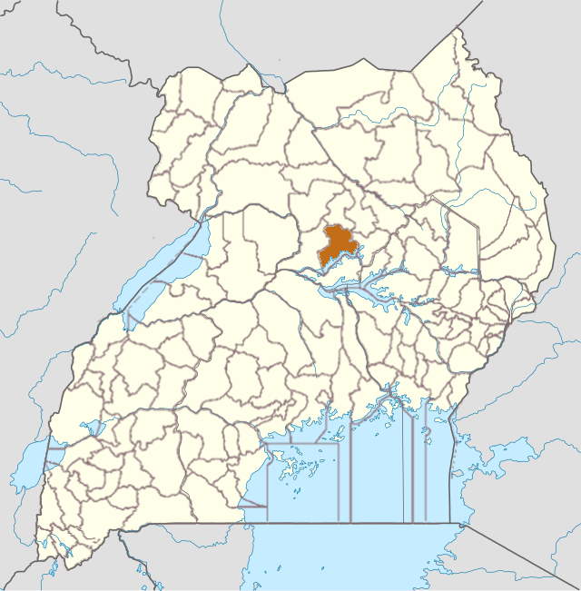
Kwania District in Uganda |
|

Interactive map of Kwania District |
|
| Country | |
| Region | Northern Uganda |
| Established | 1 July 2018 |
| Headquarters | Aduku Town Council |
|
• Total |
1,108 km2 (428 sq mi) |
|
• Total |
216,125 |
| • Density | 195/km2 (510/sq mi) |
| Time zone | UTC+3 (EAT) |
Kwania District is a district in Northern Uganda.[1][2] It was carved out of Apac District in July 2018. The sub-counties are Chawente, Abongomola, Nambyeiso, Inomo, Aduku; and Aduku town council. The other subcounties are Ayabi, Ayabi town council, Akali, Atongtidi and Inomo town council, totalling to 11 subcounties.
[3]
The current district chairperson is Hon Ogwal Geoffrey Alex. He assumes office on 20 May 2021. The first and interim chairperson is Basil Okello Onac.
History
In 2018, Kwania District was carved out of Apac District as part of Uganda’s creation of new districts to support decentralised service delivery.[4] Uganda Radio Network reported Kwania among the districts approved to become effective on 1 July 2018.[5]
Geography
Kwania District borders Kole District to the north, Dokolo District to the east, Apac District to the west, and Amolatar District to the south (across Lake Kwania).[6] The district covers 1,108 km2. About 11% of the district area is open water, and about 15% is forest.[7]
The district headquarters are in Aduku Town Council. Aduku is located at about 1.9951°N, 32.7183°E.[8]
Administrative divisions
Kwania District has two counties (Kwania and Kwania North). It has sub-counties and town councils, plus parishes/wards and villages/cells recorded by the district local government.[9]
| County | Sub-county / Town council | Parishes / Wards | Villages / Cells |
|---|---|---|---|
| Kwania | Atongtidi Sub-county | 6 | 44 |
| Kwania | Ayabi Sub-county | 5 | 46 |
| Kwania | Ayabi Town Council | 3 | 27 |
| Kwania | Chawente Sub-county | 6 | 45 |
| Kwania | Nambieso Sub-county | 6 | 54 |
| Kwania North | Abongomola Sub-county | 5 | 46 |
| Kwania North | Aduku Sub-county | 5 | 57 |
| Kwania North | Aduku Town Council | 2 | 13 |
| Kwania North | Akali Sub-county | 5 | 38 |
| Kwania North | Inomo Sub-county | 4 | 54 |
| Kwania North | Inomo Town Council | 2 | 23 |
Demographics
Uganda Bureau of Statistics (UBOS) reported a population of 216,125 people and 48,861 households for Kwania District in the National Population and Housing Census 2024 (10 May 2024).[10]
The district local government site cites the 2014 census and reports 35,247 households, and a predominantly rural population (96% rural, 4% urban).[11]
References

