
Municipality in Samogitia, Lithuania
|
Raseiniai District Municipality Raseinių rajono savivaldybė |
|
|---|---|

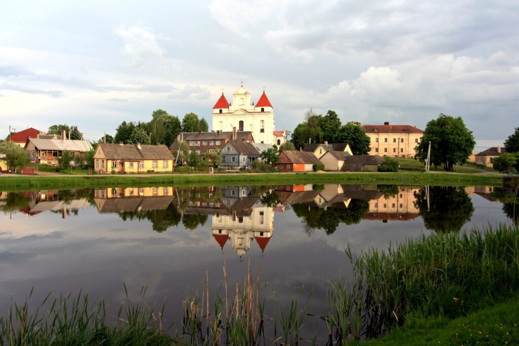
Pond near Raseiniai |
|

Flag 
Coat of arms |
|

Location of Raseiniai district municipality within Lithuania |
|

Map of Raseiniai district municipality |
|
| Country | |
| Ethnographic region | Samogitia |
| County | |
| Capital | Raseiniai |
| Elderships | 12 |
| Area | |
|
• Total |
1,573 km2 (607 sq mi) |
| • Rank | 12th |
| Population | |
|
• Total |
31,192 |
| • Rank | 23-24th |
| • Density | 19.83/km2 (51.36/sq mi) |
| • Rank | 34-35th |
| Time zone | UTC+2 (EET) |
| • Summer (DST) | UTC+3 (EEST) |
| Telephone code | 428 |
| Major settlements | |
| Website | www |
Raseiniai District Municipality is one of 60 municipalities in Lithuania.
Coat of arms: A traditional Iberic shield Argent, resting on a base Vert a lynx salient Proper.

- ^
“Gyventojai gyvenamosiose vietovėse” [Residents in residential areas] (in Lithuanian). Archived from the original on 2022-03-07.
- ^ “Tarptautinis bendradarbiavimas”. raseiniai.lt (in Lithuanian). Raseiniai. Retrieved 2019-09-06.

